Stage 13: A Veiga - Abres
- Itinerary: The Coastal Way
- Route: A Veiga - Abres
- Distance: 7.3 Kms
- Layout of the route: Download kml
Map
Stage 13: A Veiga - Abres
GPS: 43.46461439173231,
-7.048475440719864
Info - Stage 13: A Veiga - Abres
Stage 13: A Veiga - Abres 7.3 Kms
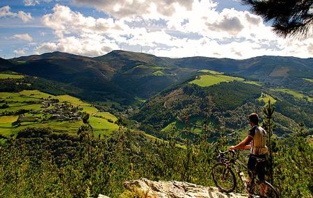
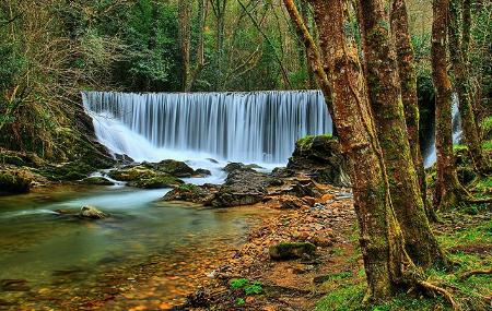
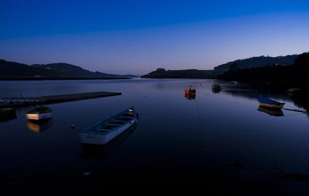
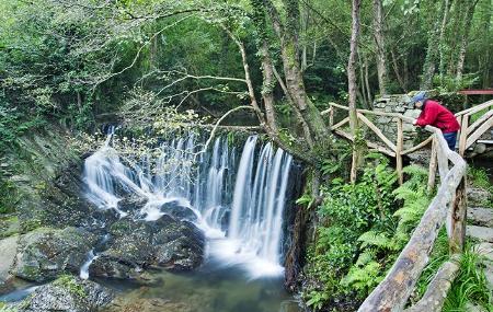
From A Veiga/Vegadeo you climb up to A Cruz, south of Miou, which serves as a crossroads. One of them is the Camino Real de Bustelo, which leads to Abres, the last Asturian village before entering Galicia via the Fornacho bridge across the river Eo.
Hostels located on the stage
The Coastal Way
Stage 13: A Veiga - Abres