
La Llera
- Salas
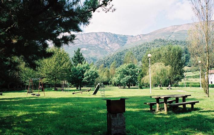
Recreational area in a riverside area bordering the Narcea River, in Soto de los Infantes, in Salas.
Images
Info
From this area you can see the Sierra del Alto de Calabazos with the cowboy villages of El Pevidal and Buspol and Monte Courío. As the altitude increases, the contour alternates between meadows and some holm oak woods.
Map
La Llera
GPS: 43.358770,-6.272575
Services and amenities
- Zona de seguridad
- Punto panorámico
- Bar / Cafetería
- Fuente
- Acceso tráfico rodado
- Zona de aparcamiento
- Zona infantil
- Barbacoa
- Zona de mesas
- Accesible autocares
- Safety zone
- Panoramic point
- Bar / Cafeteria
- Fountain
- Road traffic access
- Parking area
- Children's area
- Barbecue
- Table area
- Accessible to coaches
Contact:
Soto de los Infantes