

Panes (La Brañona)
- Peñamellera Baja
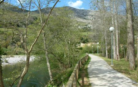
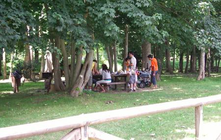
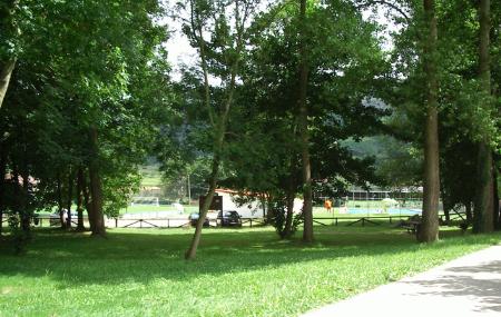
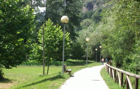
Wooded recreational area, known as La Brañona, on the banks of the Deva-Cares river in Panes, Peñamellera Baja.
Images
Info
It is sheltered from the north by the Jana mountain (608 m.) in the Cuera mountain range. It receives the full sun, which enters through the adjacent meadows of Lloscu and Soto, from east to west.
Map
Panes (La Brañona)
GPS: 43.325451,-4.589553
Services and amenities
- Zona de seguridad
- Senderismo
- Fuente
- Acceso tráfico rodado
- Zona de aparcamiento
- Zona infantil
- Barbacoa
- Zona de mesas
- Accesible autocares
- Safety zone
- Hiking
- Fountain
- Road traffic access
- Parking area
- Children's area
- Barbecue
- Table area
- Accessible to coaches
Contact:
Bread