
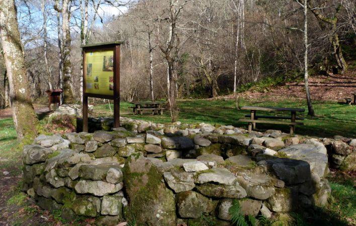
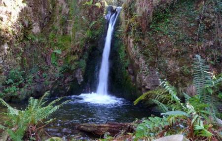
El Chorrón
- Piloña Eastern Asturias
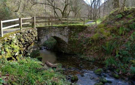
This area is named after the Chorrón waterfall, located a few metres away.

Info
It is located in a unique setting in the middle of an autochthonous forest and on the banks of the Río de La Cueva or Río Pequeño.
From here, a short walk of about 200 metres will take you to La Cascada del Chorrón waterfall, from where you can continue walking for about 2 km to the abandoned village of La Cueva and visit the natural cave in the upper part of the village.
A good way to get to know it is to follow a simple hiking route, which, starting from Villamayor, will take you in just over 2 km to the recreational area and the Chorrón waterfall.
Map
El Chorrón
GPS: 43.341534, -5.2985280
Services and amenities
- Fenced area
- Located at the roadside
- Bar / cafeteria nearby
- Fountain
- Accessible
- Containers
- Walking route
- Access for road traffic
- Parking area
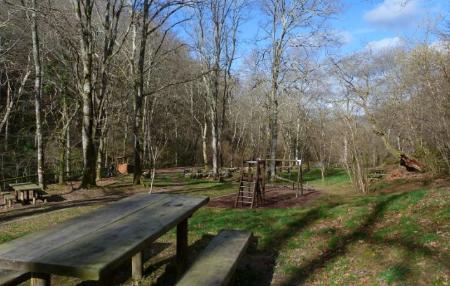
- Children's area
- Table area
- By the river