Piedrafita Pass Route

- La Paraya Central Asturias
- Distance: 16 kms
- Difficulty: Very difficult
- Cumulative difference in altitude: +1010 m
- Cumulative difference in altitude: --1010 m
- Maximum altitude: 1681.97 m
- Minimum altitude: 652.51 m
- IBP index: 115
- Modality: Mountaineers
- Type of route: Round trip
- Route type: Mountain
- Return by Train: No
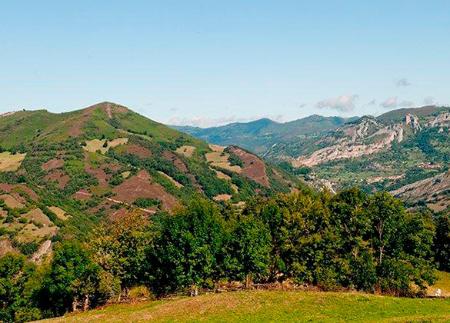
The route is an ascent that allows you to explore a landscape of great natural beauty and discover elements linked to traditional mountain work. Along the way, the route crosses several sheepfolds and enjoys wide panoramic views of the valley and spectacular views.
This round-trip route follows an old royal road, the PR265, which links the council of Aller with the province of León. The route takes about 4 hours to complete on the outward journey alone, so its duration should be taken into account when planning how to do it. With medium difficulty, a gradient of 432 metres and a maximum altitude of 1,748 metres, the route connects with the mountainous heart of Asturias.
To start, head for the village of La Paraya. The easiest way to get there is to take the AE-6 road from Collanzo. After passing Casomera, take the turn-off to the right that will take you straight to La Paraya.
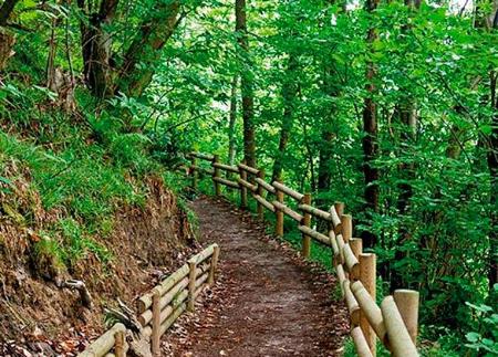
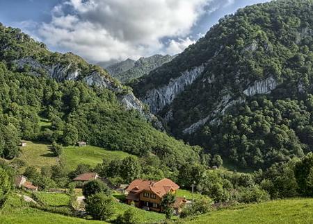
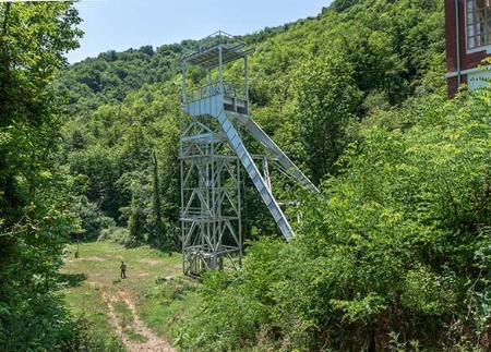
Once in La Paraya, the starting point of the route, the path reaches the hamlet of Yananzanes in a few minutes. From there, it follows an old royal path that heads towards the Roseco spring. At the start of the path, you will notice a waterfall that feeds the turbines of the La Paraya hydroelectric power station, a vestige of the connection between nature and industry in the area.
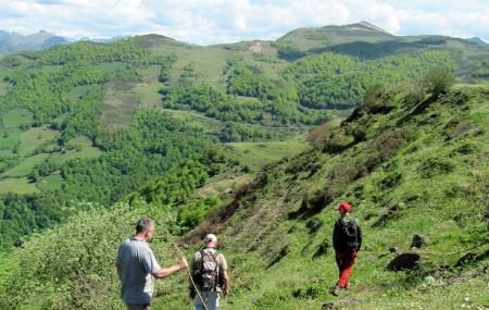
The route continues with a steady ascent, a physical challenge that allows you to appreciate the beauty of the landscape as you enter the heart of the mountain. It passes through the Rasteyu, the Quentu Posaorio and the sheepfolds of Campanal de Baxo and Campanal de Riba, places that show the history and rural life in the mountain.
The next point of interest is the Rocín pass, an ideal place to take a break and admire the impressive views of the valley, necessary before continuing the ascent towards San Pedro. In this cairn you can still find the remains of the arch that supported the entrance to a chapel that no longer exists, a reminder of the region's past.
From San Pedro, the path continues along the last stretch of the route to the summit of the Alto de Piedrafita, at an altitude of 1,683 metres. Arrival at this point marks the culmination of the ascent. The descent follows the same path as the ascent, allowing you to relive the experience from a different perspective, until you return to the starting point at La Paraya.
The route is a steady climb that is physically demanding and allows you to appreciate the historical connection between Asturias and León and to discover the traces of rural life in the mountains.
PR265
Basic tips before going into the mountains
- If you go with a dog, always keep it on a leash.
- Avoid approaching livestock.
- If you find mastiffs protecting livestock, do not approach them, do not pet them and do not feed them. Do not allow them to follow you or stray from their herd. They are working.
- Don't leave a trail. Collect all your waste, including organic waste. Nature is not a dumping ground.
- Act with prudence. Plan your route well, take everything you need and make sure it is adapted to your physical capacity.