

- Cangas del Narcea Western Asturias
- Distance: 10,6 kms
- Difficulty: Half
- Code: GR203 - Where the Bear Walks
- Altitude: 1.165
- Unevenness: 814
-
On foot:
3 h. 30 min.
Round trip
- Geographic situation: Cangas del Narcea
- Start point: L' Acebu
- Tour type: One way
- Layout of the route: Download kml, Download gpx
GR203 - Where the bear walks - Stage 11
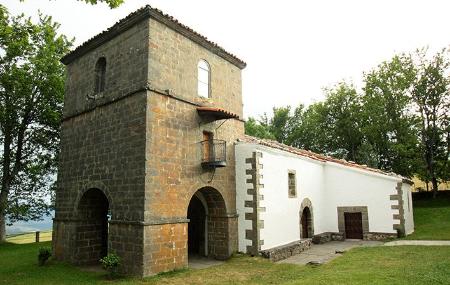
Legend has it that from time immemorial there was a small chapel in L'Acebu that had to be entered by crouching down. In 1590 the monastery was built here to replace the old chapel.
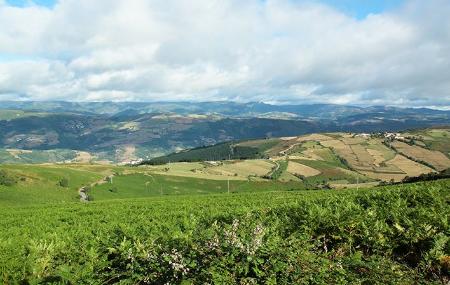
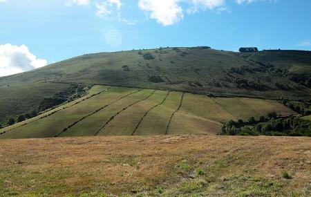
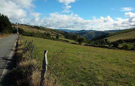
From here the route descends, partly along roads and partly along paths, and crosses pastures and heaths, pine woods and native forests, wide valleys and gentle hills. The views extend as far as the hills leave us, enjoying open landscapes before we enter the wooded formations and plantations of the lower part.
Once here, the smell of the pine forests is replaced by the lighter greens of the mixed forests, and from here we approach the Monastery of Corias, now converted into a national parador, and behind it we find the Interpretation Centre of the Biosphere Reserve of Cangas del Narcea, Degaña and Ibias.
A route to enjoy the flight of birds of prey in these open skies, on foot or by bicycle, as part of the GR. 203 ring where the bear walks.
L' Acebu - Courias 10,6
This simple route starts at the sanctuary of L'Acebu, where we can leave our car and start the walk by taking the path on our right. Some of the sections run along the road, so we must be very careful on this route. About 650 metres into the route, we come to the first crossroads, where we must cross the CN-2 road with extreme caution, to continue along the same path.
After 1.2 kilometres, we join the CN-2 and continue along it for approximately another kilometre, at which point we come to a junction, but we must continue straight on. This is the only section where the slope is ascending, some 600 metres, at which point we reach Viḷḷanueva, a small village that we leave on the right to continue along the same road.
At kilometre 3.3, we leave the road to take the forest track on the left, which we follow straight on without turning off. About 500 metres further on we come to a path that turns off to the left; pay no attention to it, and continue straight on until we reach kilometre 4.8, where we must once again cross the CN-2, and then continue straight on. About 100 metres further on, continue along the track on the right, always straight on, to immediately enter a short stretch of wooded area.
After 6 kilometres from the start of the route, continue straight on, ignoring the path on the right. About 300 metres further on, we enter another wooded area and 1 kilometre later, in a clearing in the forest, the path takes a sharp bend to the right, a direction we should follow to continue our route, once again entering the forest.
At kilometre 8, the path turns right again, and after 200 metres it joins the CN-2 road. We continue along this road for another kilometre until we reach a track on our right, which we take until we reach our destination, Courias: the Monastery of Corias.
It runs along stretches of road and forest tracks that descend steeply to Courias. Suitable for mountain biking.