Nalon Front Route

- Distance: 19.55 kms
- Difficulty: Difficult
- Cumulative difference in altitude: +770 m
- Cumulative difference in altitude: -770 m
- Maximum altitude: 601 m
- Minimum altitude: 356 m
- IBP index: 79
- Modality: Mountaineers
- Type of route: Circular
- Route type: Mountain
- Return by Train: No
The Nalón Front Route, in the council of Candamo, is a historical and natural route that allows you to discover the traces of the Spanish Civil War in the landscape of the sierra, where trenches, machine-gun nests, casemates and artillery emplacements that formed part of the Republican defences of the Asturian front in 1937 are still preserved. Three different sections, which can be done together or independently, offer the possibility of exploring one of the best examples of contemporary military archaeology in Asturias, while at the same time enjoying the beautiful natural surroundings.
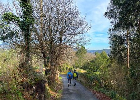
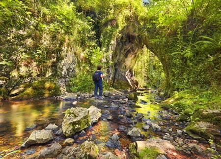
The route runs through forests of pine, heather and gorse, high meadows and open areas overlooking the surrounding valleys. In the sky, the flight of birds of prey often accompanies the advance along the ridges. Along the way, information panels help to interpret the defensive remains and the role played by these positions in the conflict.
Section 1: The trenches of Las Fontes and Pie de la Sierra
The first section, which is circular and about 5 kilometres long, begins in the car park at the Alto de la Sierra, although it can also be started in the recreational area of La Degollada. Along a path through the woods on the Candamo side, the route climbs up to La Cotera peak and the Las Fontes trenches, which defended the strategic pass towards Avilés. The route continues to the Altu de La Llinar, where there are new trenches and a Neolithic burial mound, evidence of the human occupation of this mountain range since prehistoric times. The route then returns to the starting point, passing through the deep defensive cut of Pie de la Sierra, where the trenches dug in the rock are in excellent condition.
Section 2: The artillery batteries and observatories
The second section, about 3.5 kilometres long, runs along the windmill track, in a more open and crested landscape. Here the artillery batteries of Alto de los Cañones stand out, with their large concrete casemates, characteristic constructions of the Republican fortifications in Asturias. We also visit the Picos de Horru observatory and the Pico la Cruz entrenchment, from where some of the best views of the surrounding area can be obtained.
Section 3: The labyrinth of trenches of El Pedroso
The third section, considered the most spectacular, starts at the recreational area of La Degollada and goes deep into the forest towards the Cima del Pedroso, where an authentic labyrinth of defensive positions is preserved: machine-gun nests, sharpshooters' wells, excavated shelters and armoured shelters. The shady atmosphere of the pine forest and the presence of these military elements make this section a unique immersive experience. The route ends in the village of Villar, after crossing the ridge and following the route of the fortified line.
- Own signage
Basic tips before going into the mountains
- If you go with a dog, always keep it on a leash.
- Avoid approaching livestock.
- If you find mastiffs protecting livestock, do not approach them, do not pet them and do not feed them. Do not allow them to follow you or stray from their herd. They are working.
- Don't leave a trail. Collect all your waste, including organic waste. Nature is not a dumping ground.
- Act with prudence. Plan your route well, take everything you need and make sure it is adapted to your physical capacity.