
- San Martín de Oscos Western Asturias
- Distance: 13,33 kms
- Difficulty: Short
- Code: PR114
- Altitude: 183
- Unevenness: 638
- On foot: 4 h. 30 min.
- Start point: A Reboqueira
- Tour type: Circular
- Layout of the route: Download kml, Download gpx
PR114
Circular route that runs through the villages of A Reboqueira, Mon, El Mazo de Mon and Ventosa, ending in the village where it began, belonging to the Council of San Martín de Oscos and close to the capital of the same name.
A Reboqueira - A Reboqueira 13,33
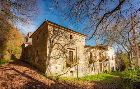
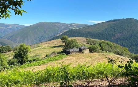
The route begins in A Reboqueira, surrounded by meadows where cattle graze. Continuing along the path towards the village of Mon, you soon enter a forest of chestnut, birch and oak trees. In Mon we can appreciate the baroque architecture of the Palace of Mon, and we can visit its interior during the summer season and holidays.
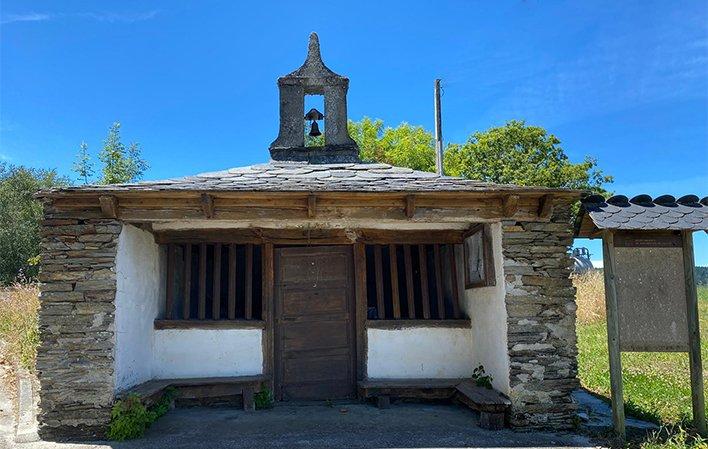
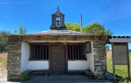
From here, and along a path marked by stone walls and chantos (stone walls), we reach a fork, where before continuing on our way to the village of Mazo de Mon, we recommend visiting the chapel of Sta. Marina, where we can see the valley of the river Ahío and in the background we can see the next stop.
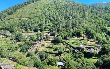
Returning to the main road, we will arrive at El Mazo de Mon, through a leafy forest of chestnut trees and corripas (circular stone constructions for storing chestnuts) that dot the landscape. In El Mazo de Mon we recommend visiting the remains of the old mazo and the irrigation channel that used to irrigate it, surrounded by a forest of alders, ashes and willows. From here we return along the path we have already walked and halfway along it we will come across a sign on the left-hand side that takes us to Ventosa and from there we will return to Reboqueira.
It can be done by mountain bike but be aware that there are parts of the route that are very narrow so you will have to carry your bike in your hand and the path is made of pebbles and there is usually a lot of vegetation.