
- Piloña Eastern Asturias
- Distance: 7,5 kms
- Difficulty: Half
- Code: GR102
- Altitude: 492
- Unevenness: 233
- On foot: 2 h. 30 min.
- Start point: The Moru
- Tour type: Round trip
- Layout of the route: Download kml, Download gpx
GR102
Among those roads that the Romans left in our land is the Sellón road, which connects Piloña with Caso. Small well paved fragments still remain. It is best to start at El Moru and at San Vicenti/San Vicente, when you finish, ask a taxi to take you back to the beginning of the route, if you don't want to do it there and back.
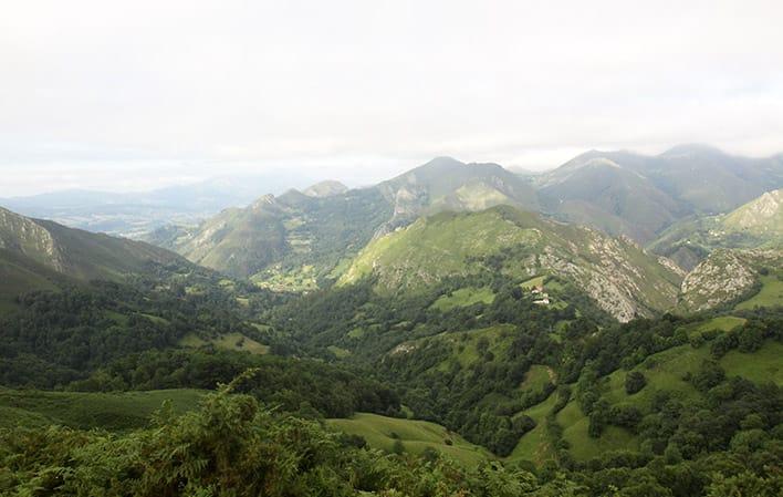
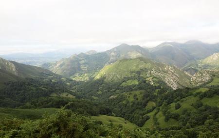
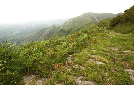
This is a scenic path that runs between two deep valleys, that of the River Infierno and that of La Marea. We fly over both, with views of villages such as Espinaréu/Espinaredo, Óbana, Belonciu, Rifabar/Riofabar and Ques, as well as the Sierra de las Aves, to the east, with the Vízcares towering above it, and the Sierra de Ques, to the west. The whole route is dominated by scrubland, although it is dotted, especially the lower part, with blackthorns, some carnivorous plants and, mainly, wild pear trees, which are becoming increasingly scarce in our forests.
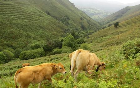
Among the fauna, the most remarkable is the common stonechat, a small red and white black bird that we can hear everywhere.
El Moru - San Vicenti/San Vicente 7,5
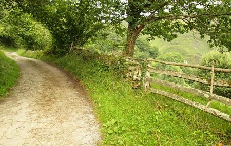
This route follows the Roman road that connected the Meseta, through the Tarna pass, with the Cantabrian Sea. It is of great historical value. The path starts in the village of El Moru, where we can leave the car and access the forest track to the Sellón field.
After walking 1.5 kilometres, we arrive at the Sellón field, located at the foot of Picu Facéu, which is the original starting point. Take the path on the left. After another kilometre, we descend along the old road, which is still visible and from which we can enjoy beautiful views.
After approximately 4.6 kilometres, we reach another field, which we cross to rejoin the path and continue descending.
When we reach kilometre point 6.8 of the route, there is a fork, where we take the branch to the right, which will take us to the village of San Vicenti/San Vicente; the one to the left will take us to Lozana.
A little over a kilometre from the previous point we reach the village of San Vicenti/San Vicente, the end of our historic route.